Log in
All resources
Create a design
41,226 Free Images of 1899 Maps
arnold's geographical handbook (1899)
maps in the library of congress
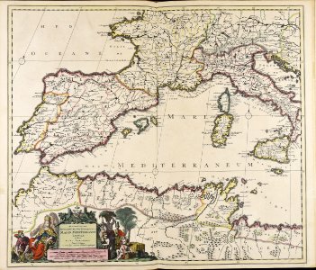
maps with cartouches
atlas van der hagen
california
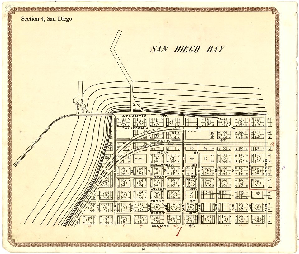
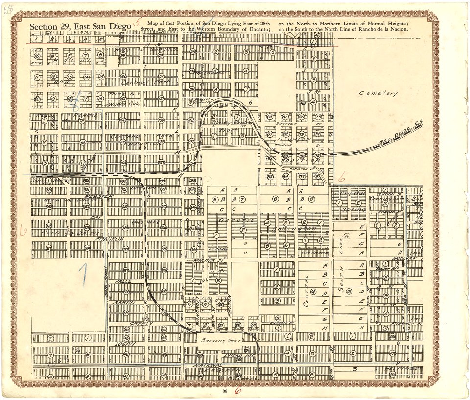
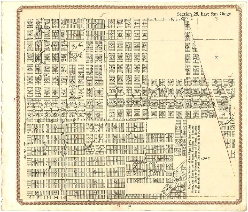
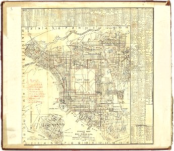
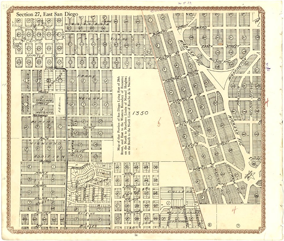
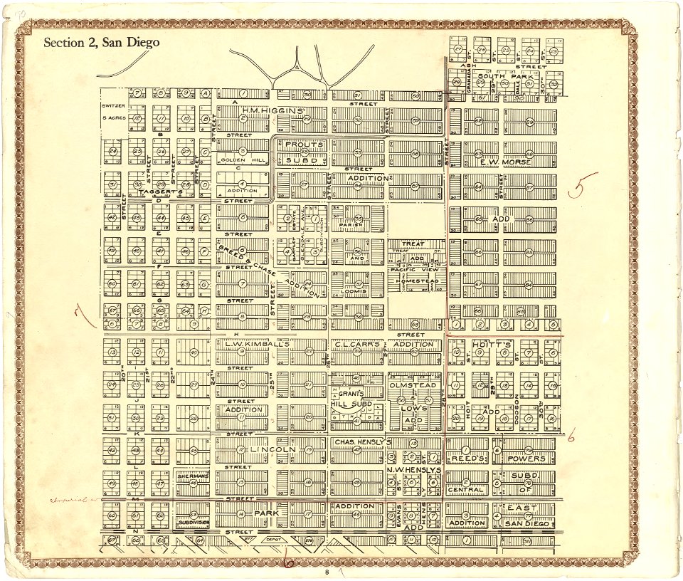
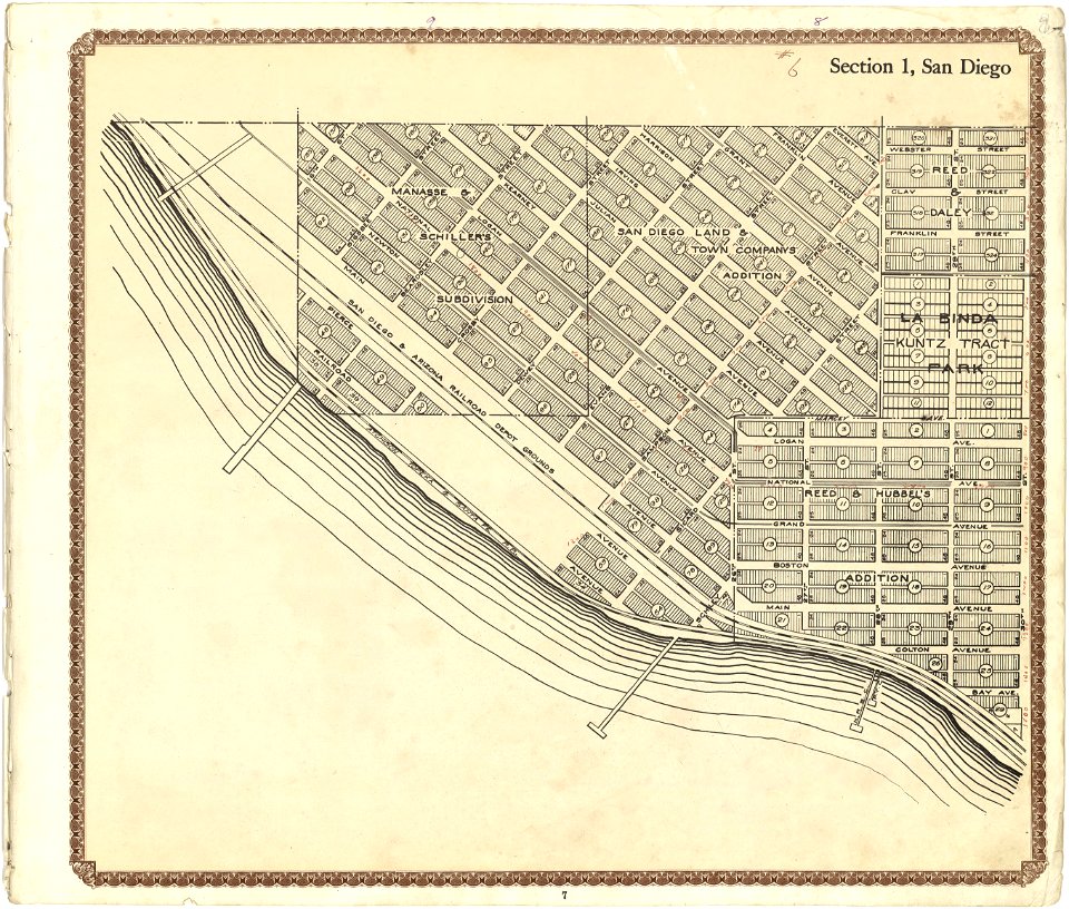
plat book of san diego county
maps of san diego
fonds ancely - bibliothèque municipale de toulouse - maps
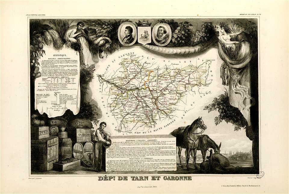
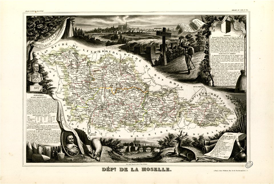
victor levasseur - maps of france
1899 maps of south america
maps with cartouches
atlas van der hagen
maps with cartouches
atlas van der hagen
old maps of amsterdam
maps with cartouches
maps with cartouches
old maps of greece
maps with cartouches
old maps of crete
maps with cartouches
atlas van der hagen
maps with cartouches
old maps of japan
maps with cartouches
atlas van der hagen
atlas van der hagen (volume 4)
maps with cartouches
atlas van der hagen (volume 4)
maps with cartouches
johann baptist homann
latin-language maps
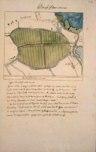
maps of amsterdam-noord
buikslotermeer
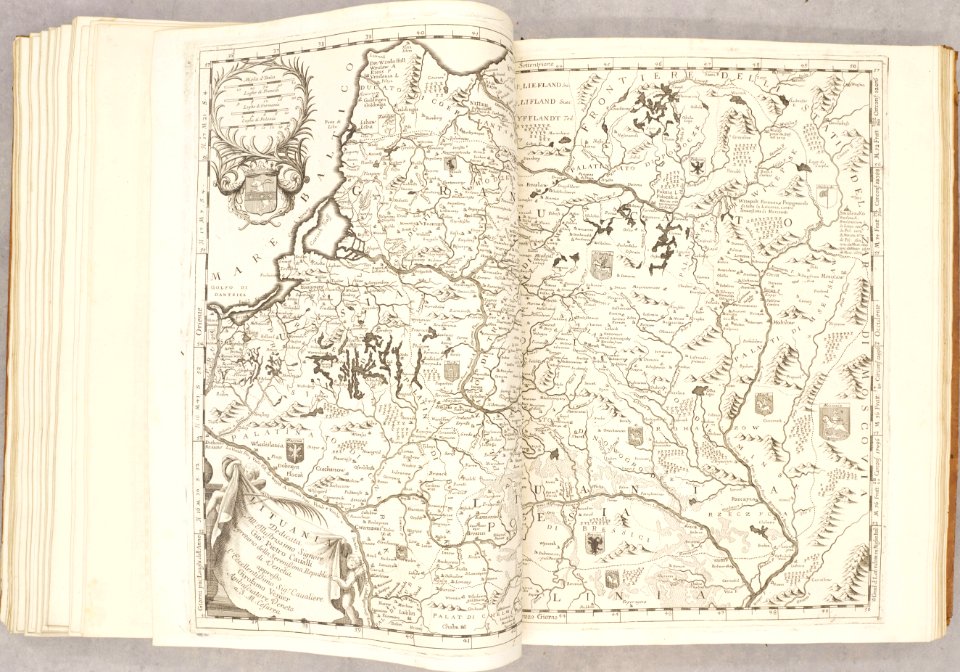
old maps of the grand duchy of lithuania
atlante veneto (raremaps.com) volume 2
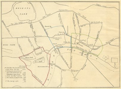
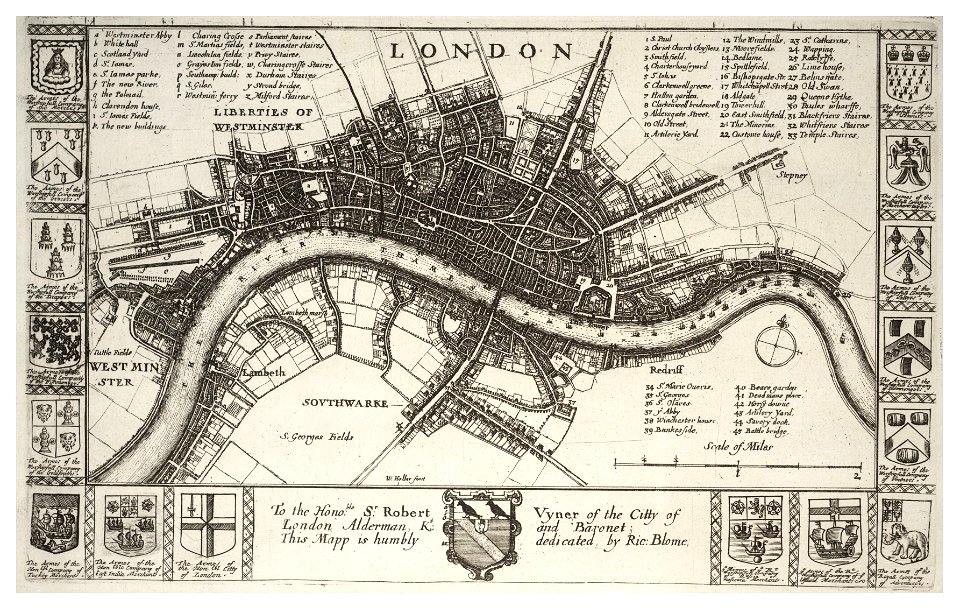
19th-century maps of london
1840 books
university of toronto wenceslas hollar digital collection
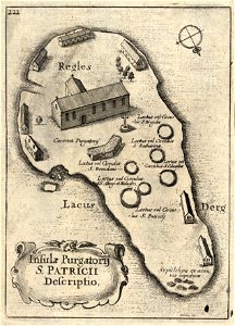
old maps of ireland
charts and maps of the royal museums greenwich
1682 maps
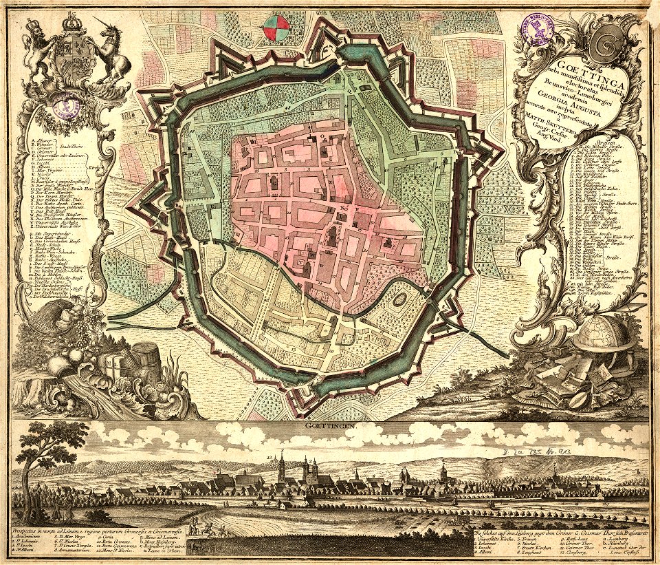
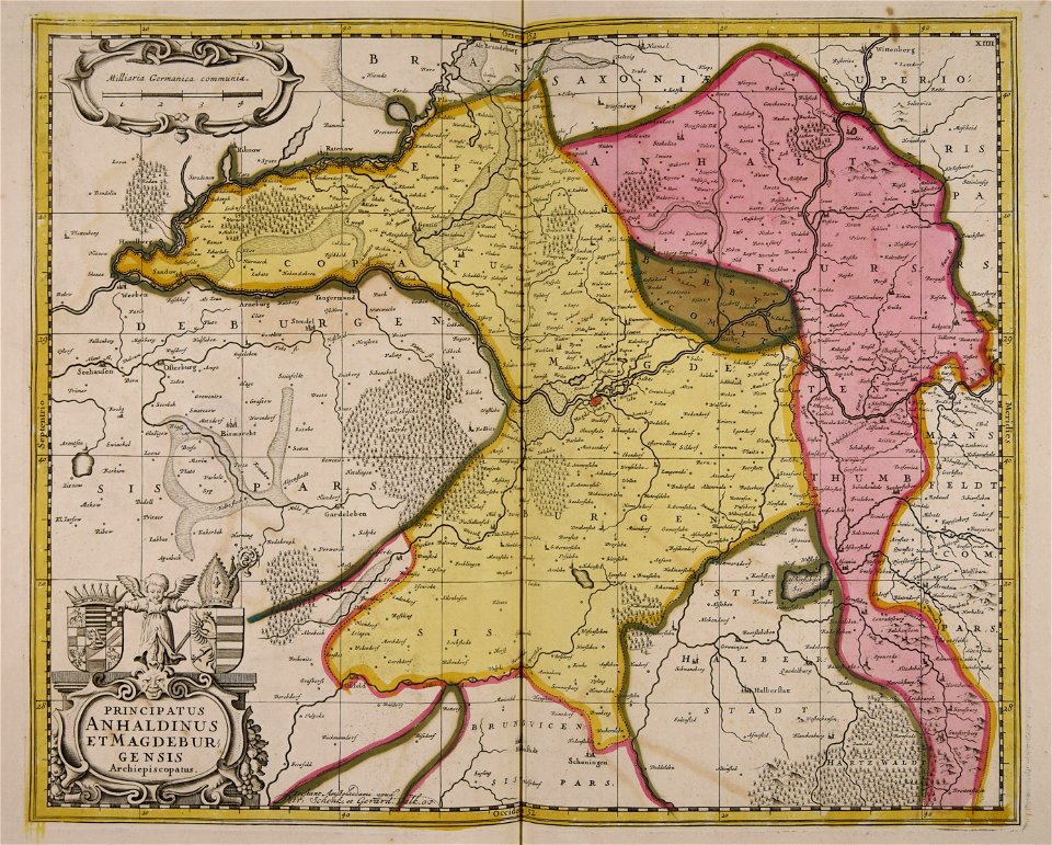
old maps of cities in germany
maps by matthäus seutter
old maps of carinthia
kärntner landesarchiv
maps made in the 16th century
philips galle
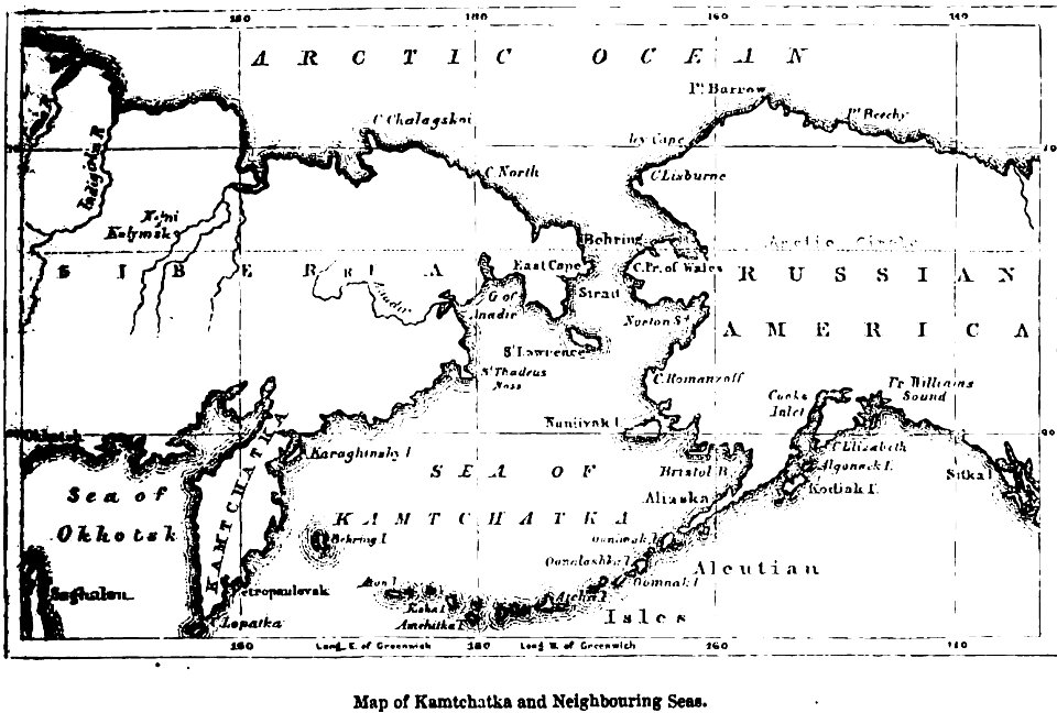
maps of kamchatka
1856 maps
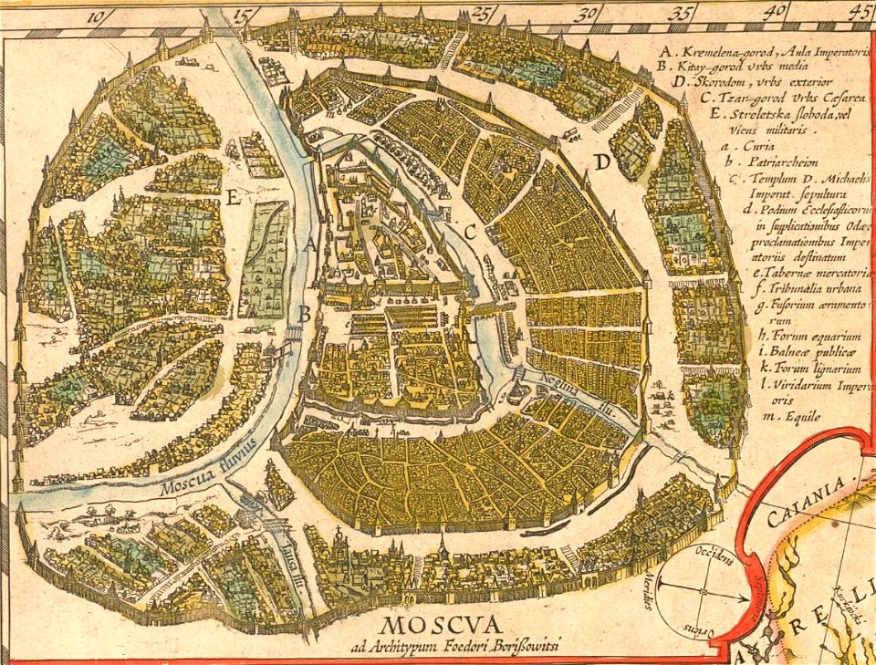
old maps of the tsardom of russia
atlas novus (blaeu)
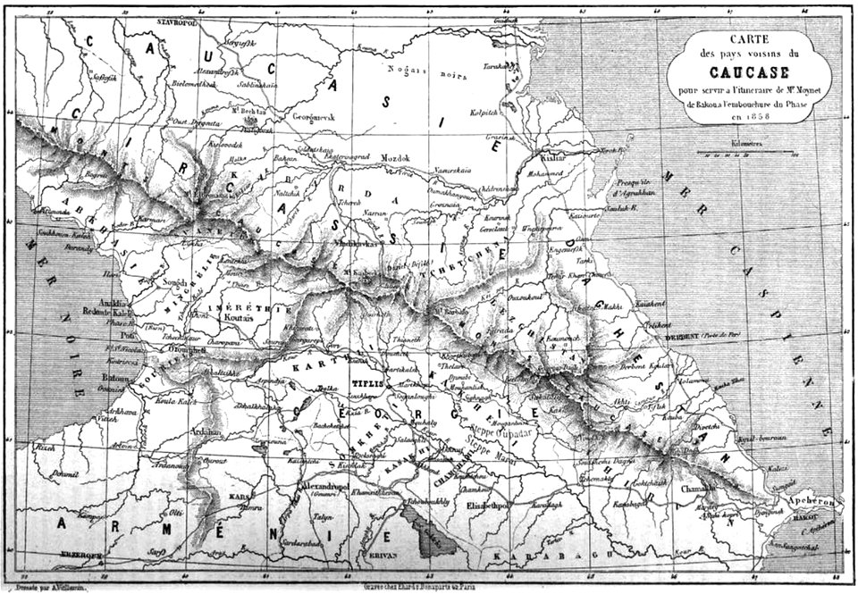
19th-century maps of the caucasus
maps by alexandre vuillemin
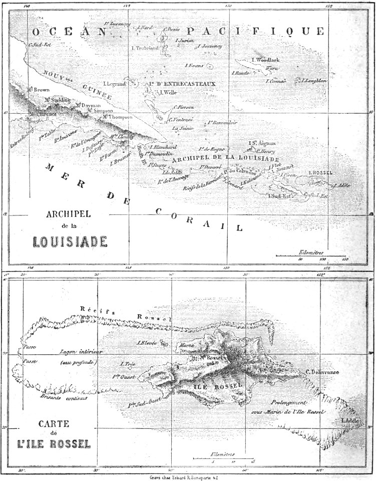
old maps of papua new guinea
maps by alexandre vuillemin
volume 5 of le tour du monde
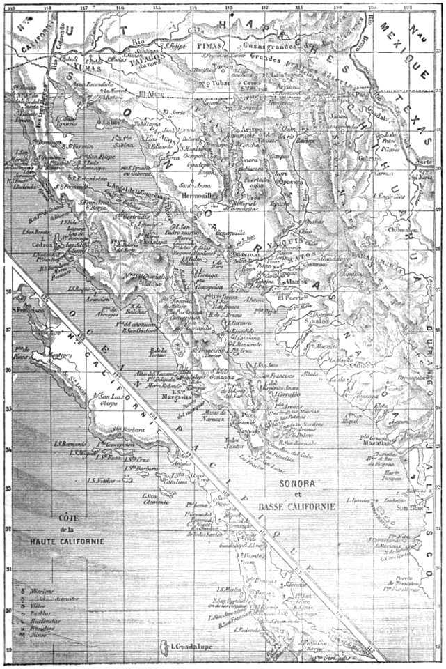
old maps of mexico
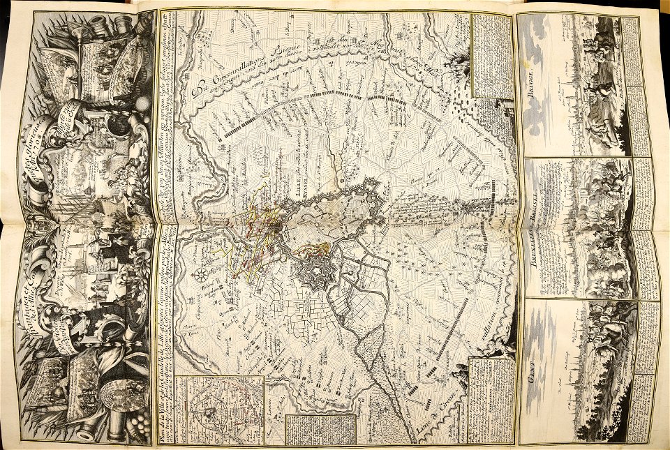
siege of vienna
wien museum
maps made in the 16th century
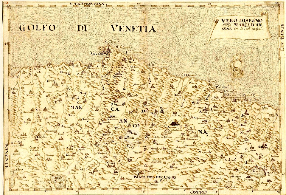
maps of the march of ancona
the illustrated london news 1860
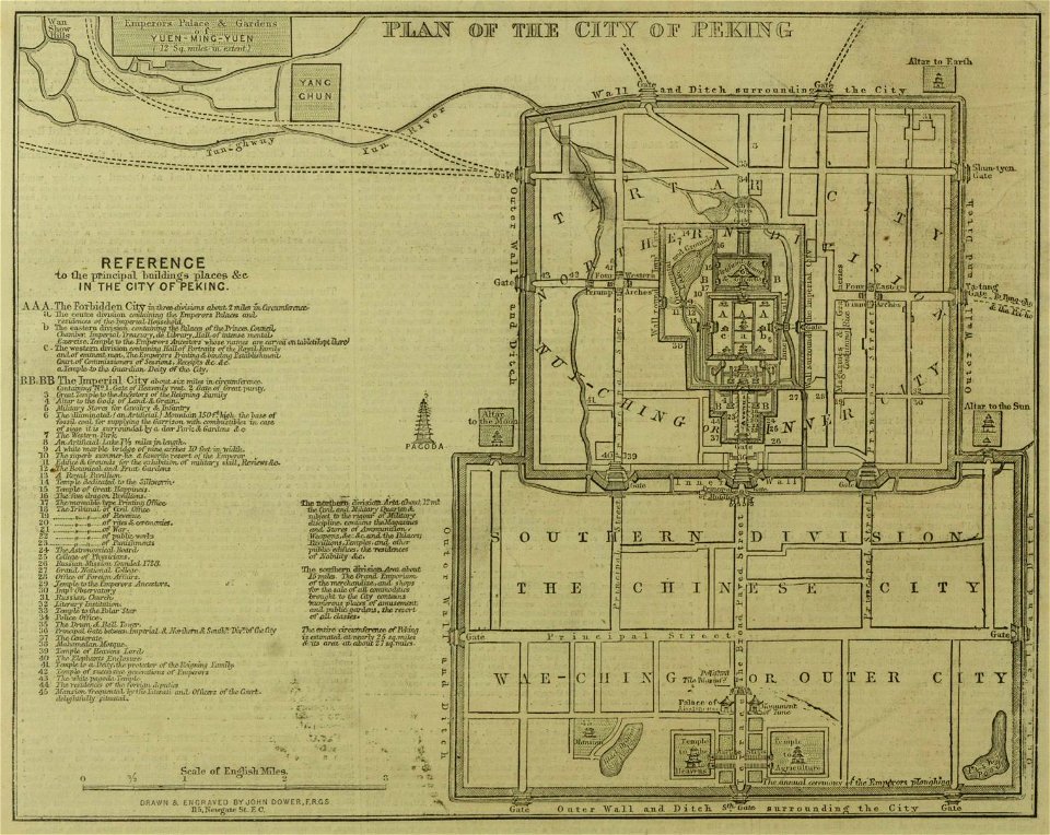
19th-century maps of china
atlantis magni tomus quintus (biblioteca comunale di trento)
topographic maps made in 18th century
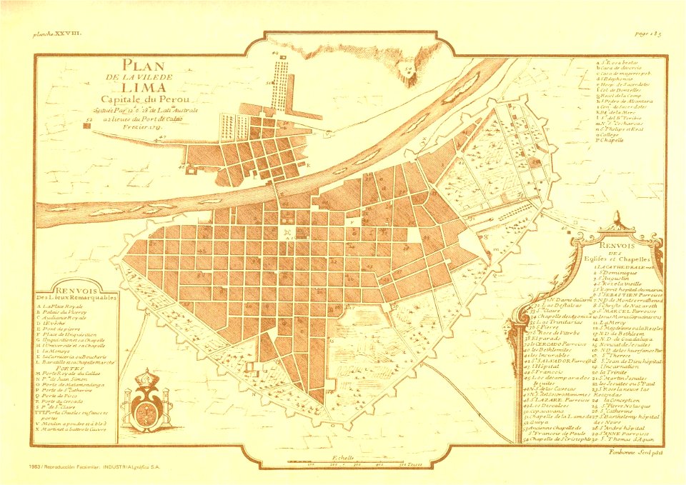
old maps of lima
frézier's travel
maps in the library of congress
california
maps in the library of congress
california
maps in the library of congress
california
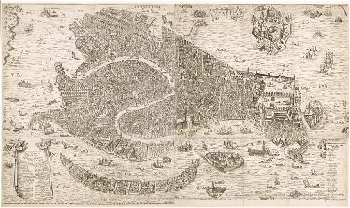
old maps of venice
stefano scolari
maps in the library of congress
california
maps in the library of congress
california
maps in the library of congress
california
maps in the library of congress
california
maps in the library of congress
california
maps in the library of congress
california
maps in the library of congress
california
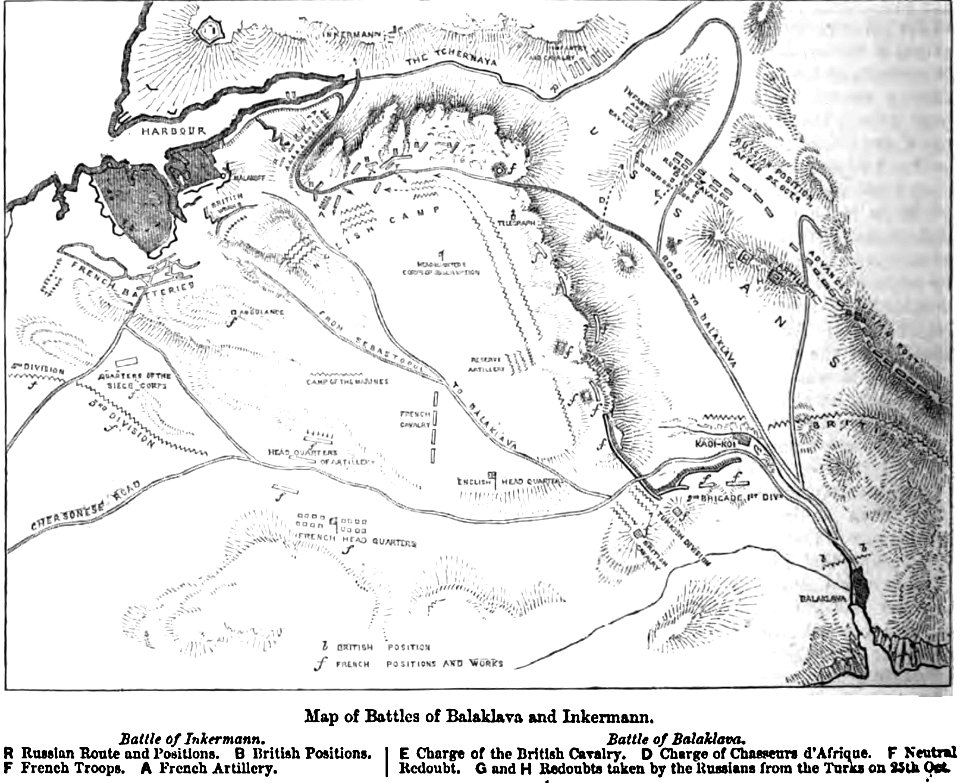
maps of the eastern theater of the american civil war
old maps of the american civil war
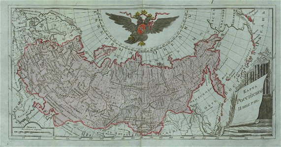
small atlas of the russian empire (1796)
old maps of the russian empire
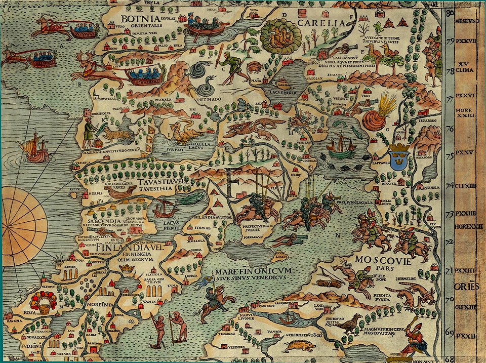
carta marina (details)
maps of vyborg
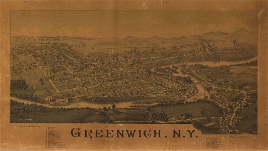
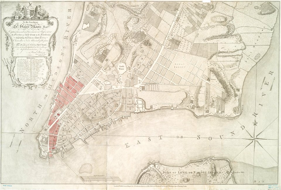
greenwich village
new york
charts and maps of the royal museums greenwich
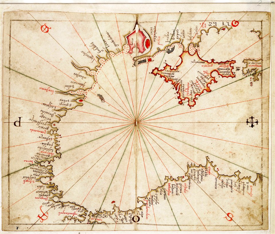
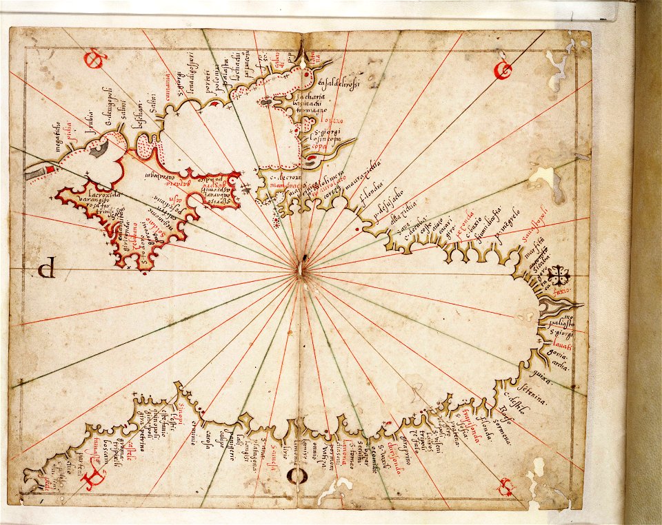
16th-century maps of the black sea
charts and maps of the royal museums greenwich
16th-century maps of the black sea
ogier gisleen van busbeke
1620 maps of europe
university of toronto wenceslas hollar digital collection
hollar maps and plans of london
university of toronto wenceslas hollar digital collection
old maps of ireland
maps made in the 16th century
old maps of bavaria
maps by willem and johannes blaeu
joan blaeu
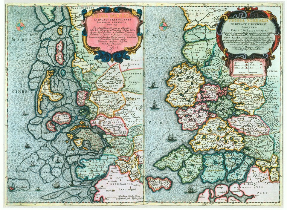
maps by johannes mejer
kreis nordfriesland
maps of battles
1856 maps
quartier de l'arsenal
lithographs of paris
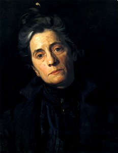
19th-century portrait paintings in the united states
female portrait paintings by thomas eakins
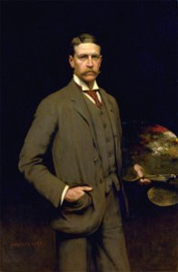
19th-century oil portraits of standing men at three-quarter length
list of faculty and alumni of the académie julian
portrait paintings of bearded men
men facing right in art
arnold's geographical handbook (1899)
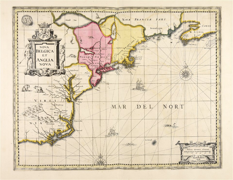
1899 maps of the united states
arnold's geographical handbook (1899)
road maps of the united kingdom
maps made in the 17th century
cornelis danckerts (i)
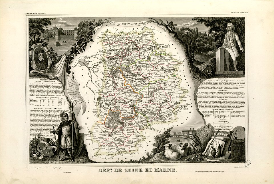
old maps of seine-et-marne
honoré mirabeau
fonds ancely - bibliothèque municipale de toulouse - maps
old maps of côtes-d'armor
coats of arms of cities in pas-de-calais
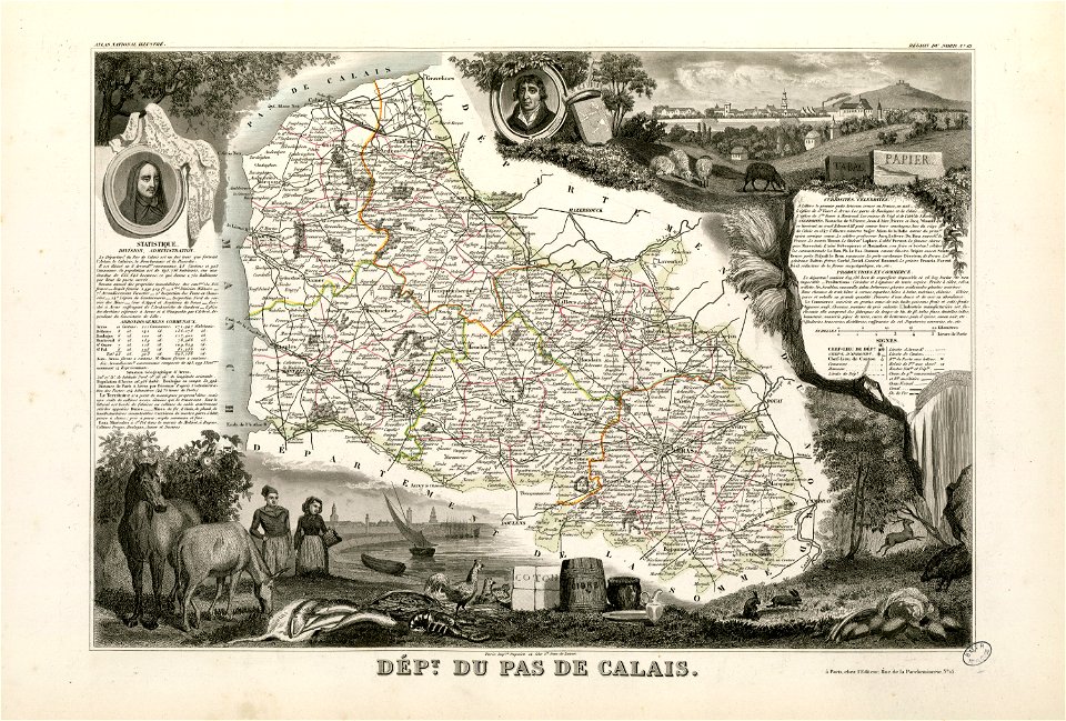
old maps of pas-de-calais
coats of arms of cities in indre
henri gatien bertrand
coats of arms of cities in drôme
jean étienne championnet
fonds ancely - bibliothèque municipale de toulouse - maps
frédéric-auguste laguillermie
abraham de fabert
michel ney
fires in new york (state)
new york city
maps made in the 17th century
gerard valck
maps made in the 16th century
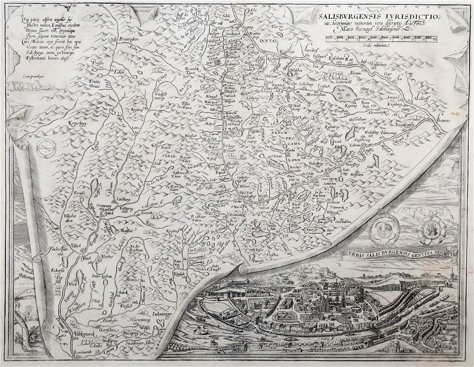
old maps of salzburg (state)
maps made in the 17th century
gerard valck
maps made in the 17th century
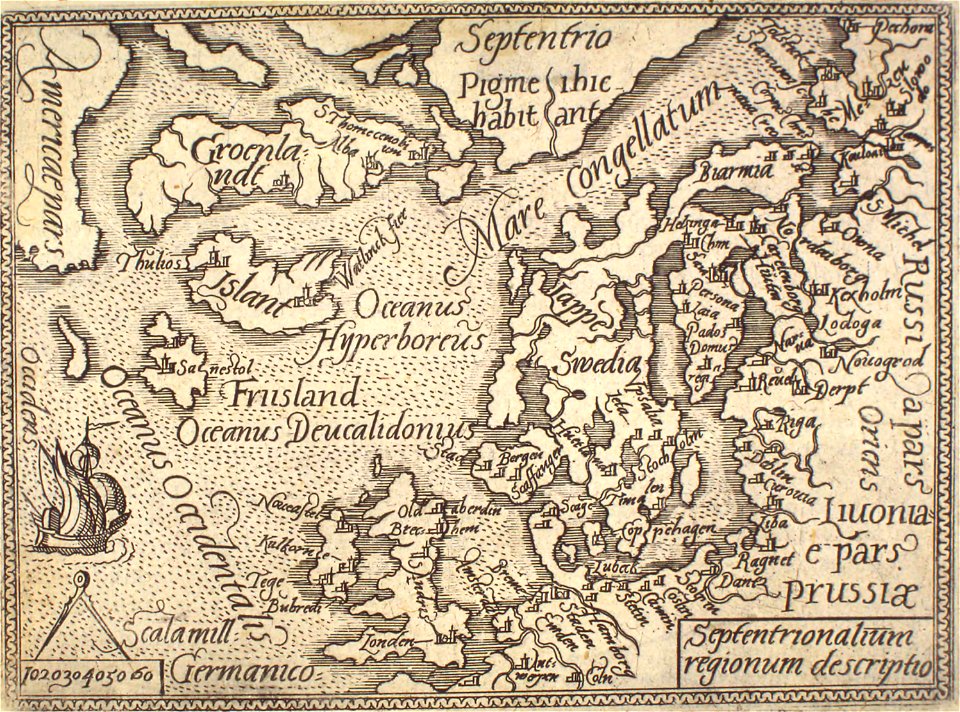
old maps of the world
illustrated battles of the nineteenth century
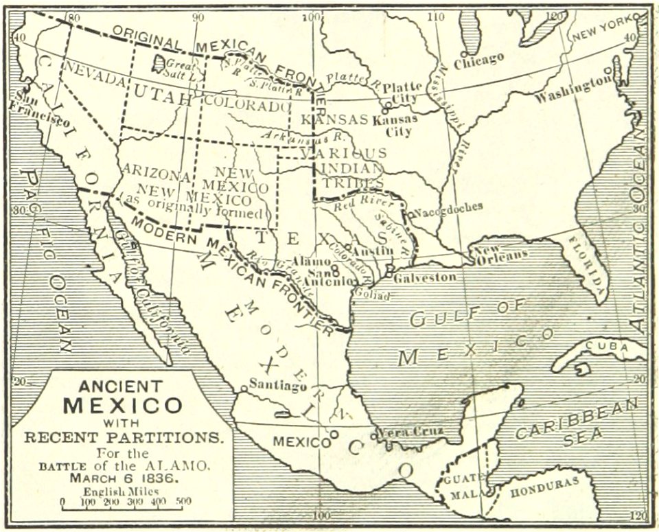
maps of the history of mexico
old maps of the arctic
maps in literature
second boer war, 1899-1902 collection
british yeomanry in second boer war
arnold's geographical handbook (1899)
1899 maps of the world
arnold's geographical handbook (1899)
1899 maps of the world
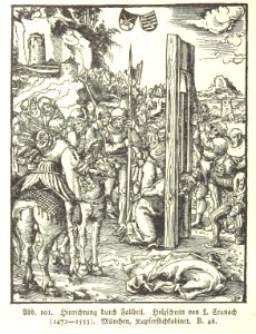
martyrdom
punisher
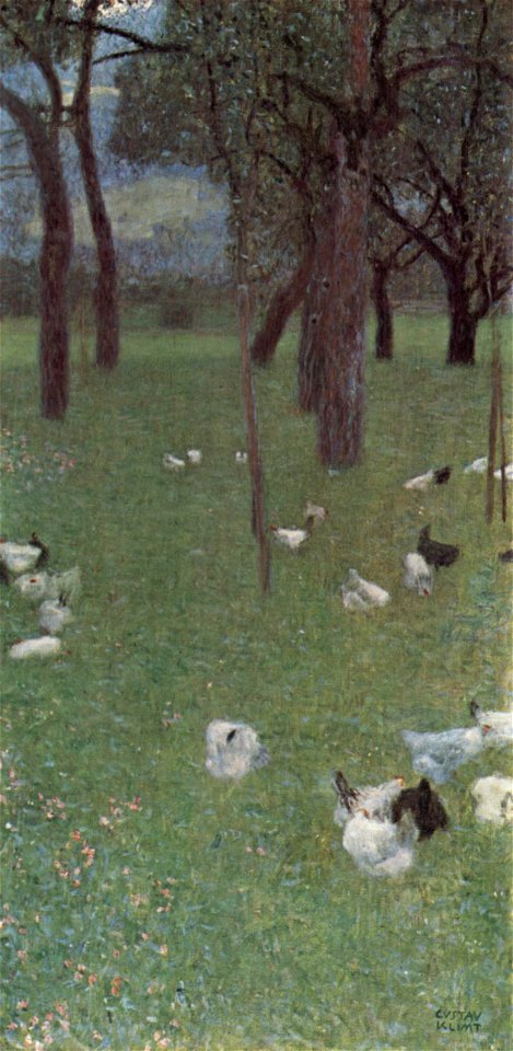
1890s paintings by gustav klimt
paintings of chickens
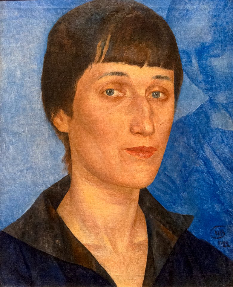
list of russian-language writers
list of russian-language poets
allegories of time
allegories of day
paintings by theo van doesburg in the centraal museum
2000
list of vanity fair (british magazine) caricatures (1875–1879)
caricatures by leslie ward in vanity fair
arnold's geographical handbook (1899)
1899 maps of the caribbean
arnold's geographical handbook (1899)
1899 maps of the caribbean
arnold's geographical handbook (1899)
1899 maps of the caribbean
arnold's geographical handbook (1899)
1899 maps of the world
arnold's geographical handbook (1899)
1899 maps of south america
arnold's geographical handbook (1899)
1899 maps of south america
arnold's geographical handbook (1899)
1899 maps of south america
arnold's geographical handbook (1899)
1899 maps of south america
arnold's geographical handbook (1899)
1899 maps of south america
arnold's geographical handbook (1899)
1899 maps of south america
arnold's geographical handbook (1899)
1899 maps of the world
arnold's geographical handbook (1899)
1899 maps of south america
physical geography (1899) by davis
1899 maps of asia
physical geography (1899) by davis
1899 maps of pennsylvania
physical geography (1899) by davis
1899 maps of california
physical geography (1899) by davis
1899 maps of mexico
physical geography (1899) by davis
1899 maps of europe
7601 - 7700 of 41,226
Next page
/ 413